Back to The Library
Canada Field Map
Created by Argraide
Updated November 4th, 2026
At a glance
- Staff pick
- Picked by the Argraide team
- Play mode
- 📱 Solo
- Format
- 🖼️ 2D
- Length
- ⏱ About 20 minutes
- Subject
- Social Studies
- Grade
- 4
- Curriculum
- Ontario
- Curriculum codes
- B3.1B3.5B3.7B3.2B1.1
About this activity
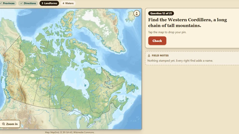
A label-free map of Canada. Students tap to find provinces, territories, landform regions and waters, read directions from a pin, and build a short reason for how land shapes the work people do.
What students learn
- Locate Canada's provinces and territories on a real map (B3.5)
- Use cardinal and intermediate directions (N, NE, E, SE, S, SW, W, NW) to find places (B3.7)
- Locate physical regions and major bodies of water (B3.1)
- Explain how a region's landforms shape what people do there, by building the reason from tiles (B3.1)
Reviews
No reviews yet. Be the first to review this activity!
Sign in to review