Back to The Library
Hoodoo Valley: Reading the Rock Cycle
Created by Argraide
Updated November 7th, 2026
At a glance
- Staff pick
- Picked by the Argraide team
- Play mode
- 📱 Solo
- Format
- 🧊 3D
- Length
- ⏱ About 20 minutes
- Subject
- Science
- Grade
- 7
- Curriculum
- Alberta
- Curriculum code
- 7ES1
About this activity
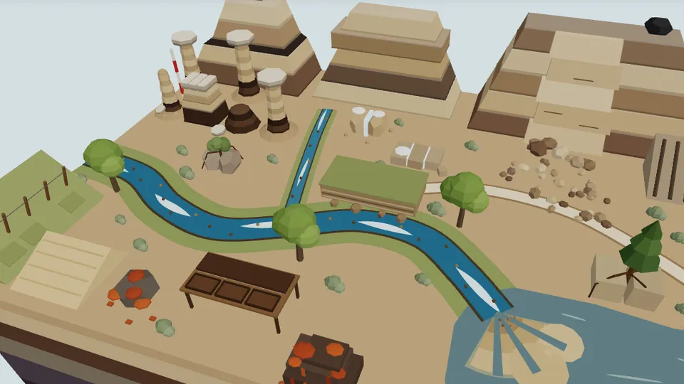
A 3D field walk through a badlands valley modelled on the hoodoos near Drumheller, Alberta. Students read the land for weathering, erosion, transport, deposition and mass wasting, work out why hoodoos wear caps, classify rock samples from their clues and trace each rock's path through the rock cycle.
What students learn
- Identify evidence of physical, chemical and biological weathering, erosion, transport, deposition and mass wasting in a landscape
- Explain how a hard caprock shields softer rock and forms hoodoos, and compare the rates of geological changes
- Suggest a way to reduce the impact of a mass-wasting event (marking the slide zone)
- Classify rocks as sedimentary, igneous or metamorphic from texture, layering and mineral clues
- Trace the processes that move a rock or sediment to the next stage of the rock cycle
Reviews
No reviews yet. Be the first to review this activity!
Sign in to review